
Every boat. One map.
We fly the show, find every boat on the water and on land, and put it all on one live map. Attendees search, tap and walk straight to the boat they came to see.
Saw us at the show? You're in the right place.

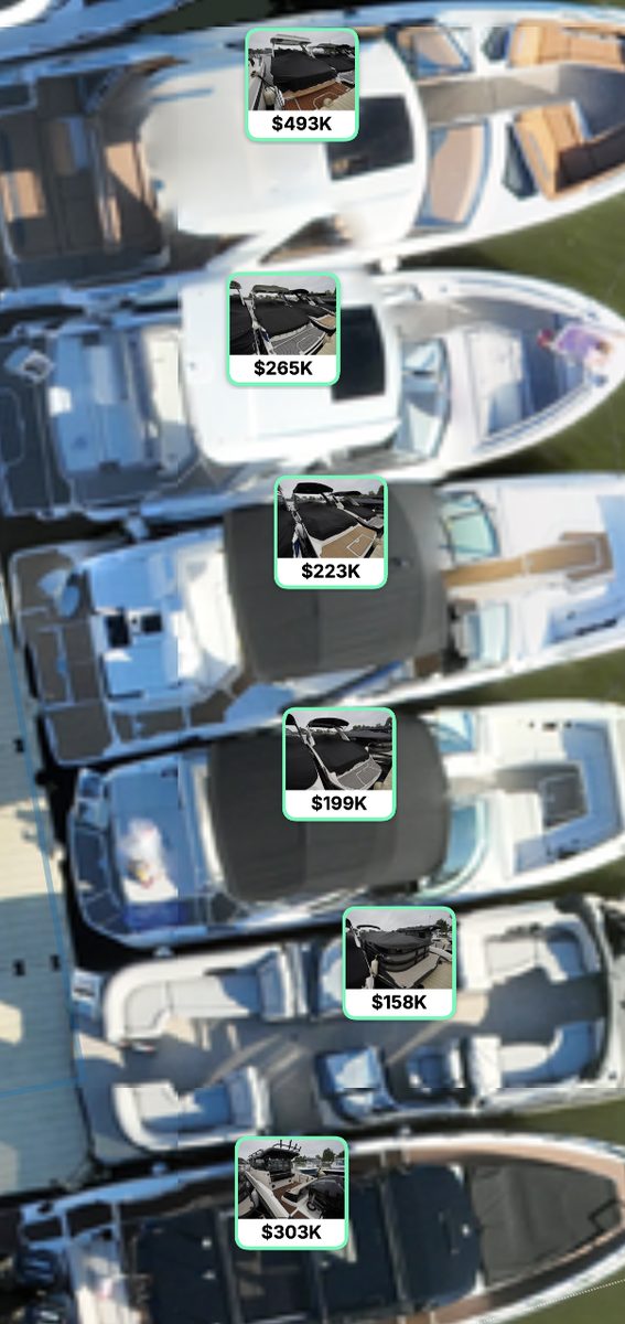
Find the boat. Walk to it.
The map is built from aerial photos of the show itself, so what you see on your phone is where the boats actually are today.
From the air to your phone.
- 1
Fly
Our drone team captures the whole show from above and on the ground, docks and land displays included.
- 2
Recognize
Visual recognition finds every boat in the imagery, and each one is matched to its listing and exhibitor.
- 3
Publish
The result goes live as an interactive map attendees open on their phone, with data exports for the show team.
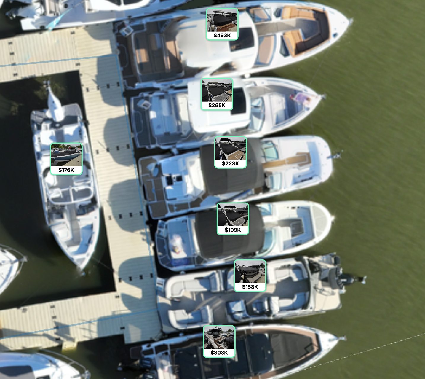
Mapped on the day.
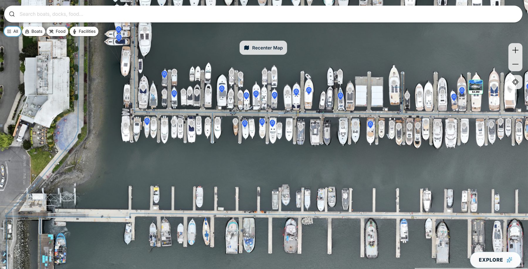
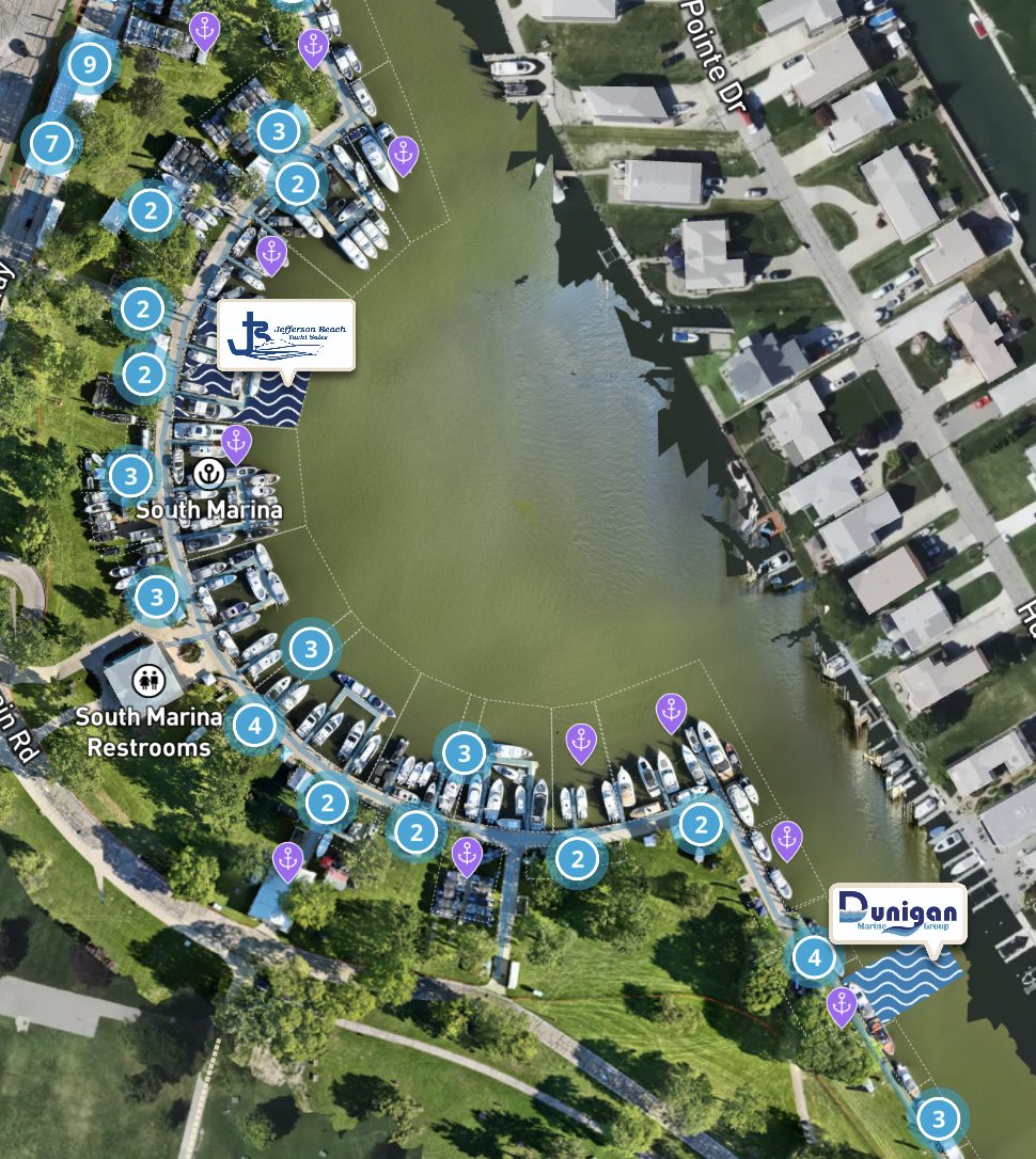
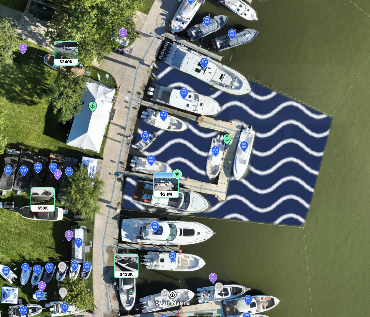
Your show, mapped as it stands.
- Aerial capture of the full site. Water, docks and land, flown before doors open.
- Every boat identified. Matched to its listing and exhibitor, so attendees land on the right page.
- A live map for attendees. Works in any phone browser. No app to download.
- Your data, exported. Boat positions and listings as CSV, JSON or GeoJSON for your own systems.
 MarineSource
Bring us to your show.
Tell us the event, the dates and the venue. We'll come back to you within 1 business day.
See every boat at the show.
Find your show's mapRunning a show? Get in touch.